GPR Processing SoftwareIntelligent GPR processing and analysis software on any device
An easy to use cloud-based software to help you go as fast as possible from data collection to delivering results. Seamless project workflow, supported by MALÅ AI
The intuitive workflow and easy-to-use toolbox helps optimizing processing, profile handling and interpretations. MALÅ AI adds valuable help to speed up the process when interpreting large utility projects. Adding and removing filters, editing display effects and analysing data – MALÅ Vision makes it easier to obtain the most from your GPR project. Quickly interpret profiles using help from MALÅ AI, the auto-switch marker tool and the standardised colour tables. MALÅ AI helps making interpretation work and reporting smoother and faster. View and Analyse from all angles Visualise and present GPR data in 1D, 2D and 3D. View interpretations together with Site map, 2D data, interpolated 3D images or time slices. MALÅ Vision allows you to instantly switch from one view to the other while working on a project. All processing is done in the background, leaving you free to continue with your analysis and interpretation. Integrated maps and positioning handling Site map, 3D map or in profile view, MALÅ Vision keeps precise track of profile positions and markers in your data. The grid editor helps define profile spacing, reposition profiles and rotate the survey grid for data collected without proper field positioning. Document all buried assets. View your results on Google maps or OpenLayers, use satellite images or Street view (first person view) of your site. Export your results as printed maps, dxf or kmz for easy sharing. 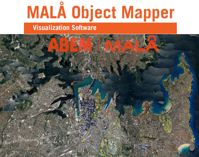
MALÅ Object Mapper is an easy-to-use visualisation software that is developed for processing, analysis and interpretation of Ground Penetrating Radar data acquired by MALÅ GPR systems – including MALÅ Easy Locator Pro WideRange.
MALÅ Object Mapper was created to answer the need for an easy-to-use software for interpretation of utility detection GPR data. The software is best used with Object Mapper projects created by MALÅ GPR equipment. Object Mapper is appreciated by its users for its simplicity and effectiveness to deliver results. The software supports both Object Mapper GPS projects and Baseline projects. A GPS project is utilizing positioning coordinates from a GPS receiver and a Baseline project acquires coordinate points with reference to a physical Baseline drawn up at site.
Object Mapper works with two main windows, one Data View (GPR profiles) and one Site Map. If GPS positioning data is available and if connected to the internet, the Site Map will also include a Google map image of the project and the positions of the data profiles. The handling and interpretation work is straightforward and simple. Select a color-marker from the Data View window and identify each object in every parallel GPR profile. The Site Map will then help answering if the markers line up in a probable way. Interpreted results can be exported to CAD/GIS software through DXF. "At the end of the day you want your software to enable you to work at the highest possible level within your industry. At MALA we are very aware that our instruments are used in commercial applications in many industries." The most apparent change with the Object Mapper 2018 software is the support for online maps. Currently the software supports Google maps and the plan is to extend the support to other online map flavors in the future. The map support increases the usefulness of GPS projects and helps in both interpreting the results and with reporting on projects.. |
REQUEST MORE INFO
RENT GPR PROCESSING SOFTWARE
GPR processing is available for rental Australia wide. Free training introduction with your first rental. Download:

| ||||||||
|
|