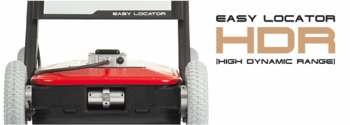
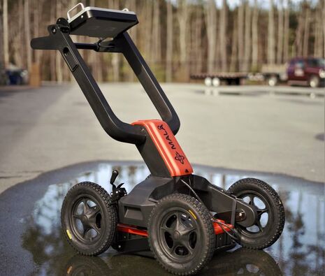
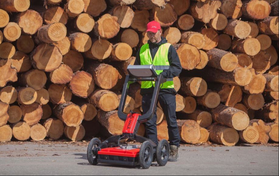
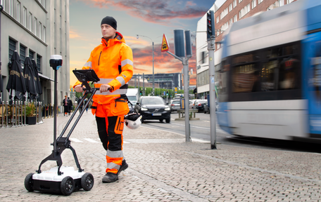
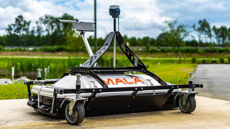
EasyLocator HDR cOmpact/ Rev2 (DISCONTINUED)Several EasyLocator HDR models suited for GPR utility/services locating operations ranging from simple Locate 'n Spray to full RTK GPS surveying. Choose from ultra compact carts to full Rough Terrain Cart.
|
Easylocator HDR PRo (DISCONTINUED)MALÅ Easy Locator Pro revolutionized the utility market with a completely new approach. With its rugged design, ease of use, best data quality and outstanding precision, it is the standard within the locating industry. The dual antenna WideRange option is suitable for both shallow high-resolution surveys and deeper investigations.
|
easylocator pro widerange - DUAL FREQUENCYMala Easy Locator Pro WideRange HDR, with the widest GPR antenna bandwidth available for untility detection on the market is the newest edition to the Easy Locator product range. Mala Easy Locators mean end to end solutions for effective utility detection. Robust foldable GPR-systems with exceptional data collection capabilities, offerimg results within minutes, directly onsite.
|
Easy locator CoreMALÅ Easy Locator Core is a state of the art, high quality, intelligent ground penetrating radar for utility locating professionals. MALÅ Easy Locator Core includes real-time interpretation support through MALÅ AI; wireless data collection using mobile devices; cloud storage, post-processing and on-site reporting using MALÅ Vision Cloud Software.
|
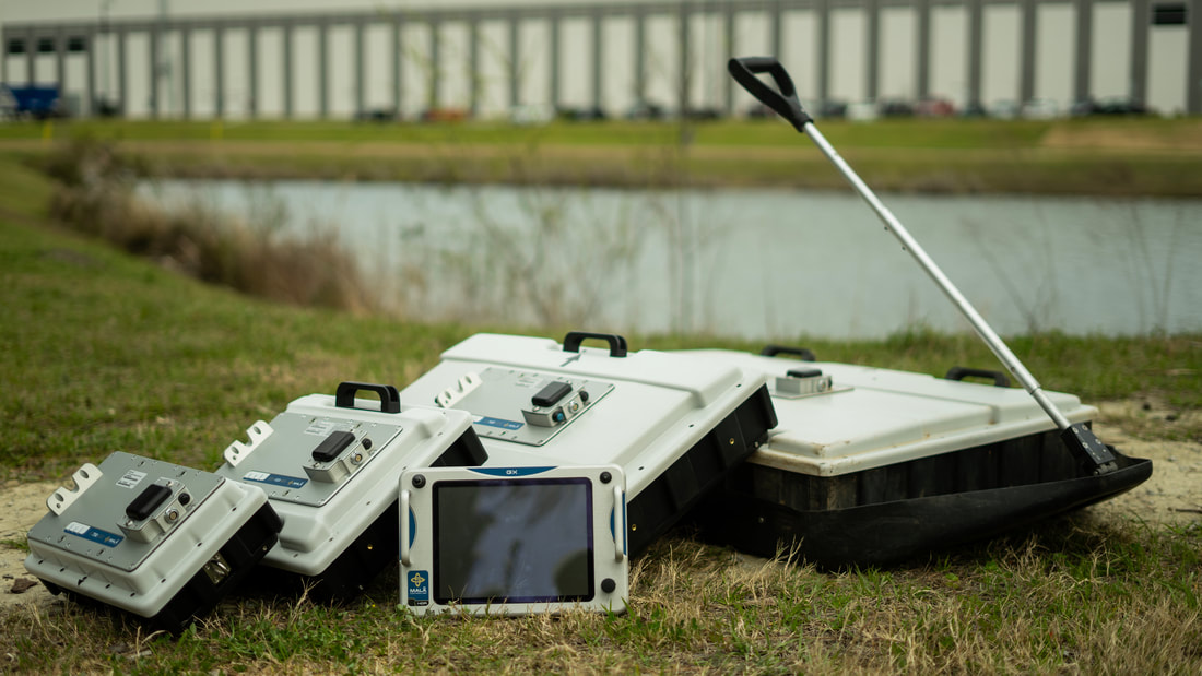
MALA Ground Explorer HDRThe MALA Ground Explorer has full surveying capabilities with interchangeable shielded antennas from 80 - 750 MHz. Your perfect choice for depths down to 10 metres. Features includes 3D mapping, GPS integration, data processing.
|
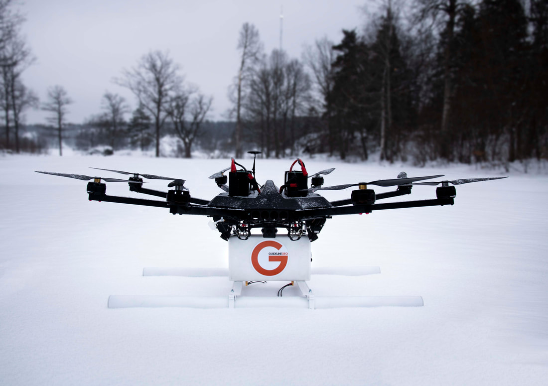
MALA GEO DroneMALÅ GeoDrone is the cutting-edge solution for unmanned surveying in hard to reach and dangerous areas. It’s based on the latest GPR HDR technology by Guideline Geo.
The MALÅ GeoDrone 80 is an Air-borne GPR unit for efficient field work, designed specifically for data collection in remote, hazardous and in-accessible areas. MALÅ GeoDrone 80 makes it possible to effectively collect GPR data in a variety of difficult environments, such as snow-covered ground, rocky and uneven terrain, across rivers and in avalanche-prone areas. |
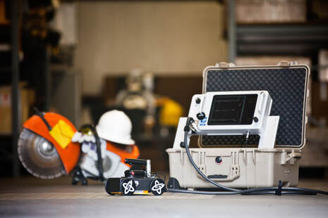
MALA CX Concrete Scanner (DISCONTINUED)The CX GPR Concrete Scanner is a high frequency system with antennas in 1.2, 1.6 and 2.3 GHz range. An 50/60Hz power sensor is included to avoid live/loaded power cables in the slab.Cut and core concrete with confidence when it has been cleared using MALA CX concrete scanner.
|
MALA professional explorer - ProExThe MALA ProEx System is our fully-flexible GPR range. You can connect up to 8 different antennas in the standard configuration but over 30 when combined with the MIRA system. The ProEx us usually used for exploration, research or geological mapping.
|
MALA MIRA/ HDR 3D array GPRThe MIRA Array GPR solution is a turn-key solution for rapid 3D GPR data questioning. Up to 31 channels of data at 200, 400 or 1300MHz. The system can be used for utility locating, archaeology and infrastructure projects.
|
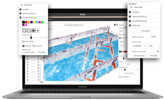
GPR Processing SoftwareGPR Processing software is essential when performing survey grade investigations. MALA GPR has experienced staff who can assist you with your processing requirements.
Data can be processed in 2D or 3D depending on what your area coverage is. For processing assistance contact our Special Projects division. |
|
|


