GPR for Environmental & Geotechnical investigations
Assessing sites for hidden environmental hazards such as underground storage tanks, buried drums, landfills, trenches, abandoned pits and waste lagoons is routine in the environmental assessment industry.
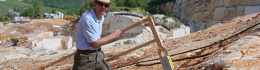
In the past two decades Ground Penetrating Radar has been an integral part of subsurface investigations from large contaminated industrial sites to street corner petrol stations with leaking underground storage tanks. GPR’s ability to rapidly scan large areas and detect buried debris and objects as well as disturbed soil saves tremendous amount of project funds by allowing environmental scientists and engineers to focus their efforts in areas at higher risk for contamination. For example, without non-intrusive information such as is provided by GPR the placement of groundwater monitoring wells was typically guided by a general feeling of the down gradient sector.
Application includes:
Suitable GPR solutions from MALÅ Geoscience would be the flexible, robust and most popular MALÅ X3M System or for the more advanced investigations, the MALÅ ProEx System with its unique high end features.
While the debate on climate change and its possible cause continues, it is generally accepted that sustainable management of the environment is key to protecting the balance of cycles that support life on the planet. This growing awareness is driving public demand for tighter controls and legislation for sustainable development to protect the health and safety of communities, as well as providing a sustainable way of life that can be enjoyed by future generations. Increasingly, decision makers are requested to include an Environmental Impact Assessment (EIA) in project proposals to highlight and consider the potential environmental impact of a project and what mitigation efforts can be employed to prevent negative outcomes. Such assessments are subject to public scrutiny, and are a key procedural element for infrastructure projects such as airports, dams, factories, highways and rail. Predicting the impact of infrastructure projects requires comprehensive and accurate data for the local geological and hydrological conditions, and generally, this data needs to be collected quickly for preliminary feasibility studies. The speed, accuracy, high-resolution and the non-destructive/non-invasive nature of MALÅ GPR makes it an ideal solution for this these data acquisition tasks – facilitating the identification of potential problems during project planning and design, and aiding the mitigation and recovery efforts following incidents during the project, or post completion. Not all environmental hazards are man-made, and in the case of naturally occurring threats, such as earthquakes, MALÅ GPR also plays an important role in assisting geophysicist to identify earthquake prone areas and predict their occurrence. Why geotechnical and environmental professionals use MALÅ GPR: Reduce the environmental risk Environmental accidents not only impact the local ecosystems and threaten the health and safety of future generations but also impose an enormous economic burden through the disruption of the local economy. The speed and accuracy with which MALÅ GPR is able to scan large areas of the subsurface empowers engineers to predict, locate and mitigate these potentially devastating incidences. In addition, MALÅ GPR is a non-invasive tool, so there is no risk of negative impact on already sensitive environments. Protection of public health and safety While stringent controls and legislation are helping to contain the threat of contamination of the environment and local ecosystems, the legacies of poorly managed development in the past pose serious threats to communities. The remedial actions to address these past mistakes is often guided by MALÅ GPR by providing high quality data for engineers to locate hazards such as leaking underground storage tanks and buried drums, as well as to delineate of landfills, trenches, abandoned pits and waste lagoons. Extend the reach of limited budgets As with most projects, budgets for geotechnical and environmental investigation are finite and engineers need to find ways to do more with less. The ultimately means technology needs to developed to deliver accurate assessments of the subsurface. MALÅ GPR is often being used as the technical solution to the problem of stretching the project dollars. In some cases, MALÅ GPR can provide a single cost effective solution or can be used in conjunction with complementary, albeit expensive, techniques such as borehole analysis to significantly reduce the overall project cost. |
REQUEST MORE INFO
RESOURCES:
| ||||||||||||||